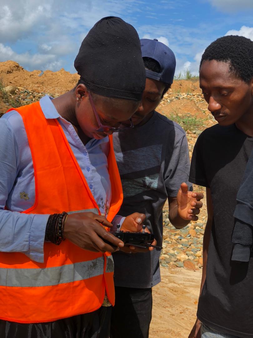
As part of the Delineation and Mapping of Catchments and Sub-catchments in the Western Area and Rokel River Basin project which is funded by the UNDP in Sierra Leone, the National Water Resources Management Agency has on the 14th of June 2021 started a five-day training on Remote Sensing and Geographic Information Systems for technical staff at the Agency and other line MDAs.
This training will enhance the capacity of participants and equip them with the relevant tools to better understand the basic principles of GIS, watershed delineation as well as spatial data collection and analysis for an effective catchment management. The training will also cover the use of drone technology for land use mapping as well as open source satellite imagery for land cover classification.
These efforts are in line with the production of comprehensive maps and reports that lead to informed decision-making supported by data and present scenarios, for the protection of the Western Area and Rokel River Basin that are critically endangered by encroachment, pollution, and other anthropogenic activities.
It is expected that by the end of the training, participants will understand the basics of vector and raster datasets, attribute tables, vector topology errors and rules, coordinate reference systems, map production, spatial analysis, and GIS applications. They would also understand the basics of remote sensing, remote sensed data acquisition and remote sensing applications; demonstrate how to download satellite data for land and water studies; emphasize the use of images to make the training sessions visual and interactive; and get introduced Google Earth Engine, a free and latest remote sensing and GIS technology for environmental resource modelling. The overall training will be followed by intensive field data collection in both the Western Area and Rokel River basin.

